![](/images/other/stat-length.png)
![Randonnée Vélo Le Perthus - EuroVelo 8 - Le Perthus - Argeles-sur-mer - Photo](https://media.geolcdn.com/t/1900/400/ext.pjpeg?maxdim=2&url=https%3A%2F%2Fstatic1.geolcdn.com%2Fsiteimages%2Fupload%2Ffiles%2F1524743154velo.jpg)
EuroVelo 8 - Le Perthus - Argeles-sur-mer
EuroVelo 8
Pour tout ceux qui veulent voyager en Europe à vélo GUIDE+
![Longueur](/images/other/stat-length.png)
Longueur
36 km
![Altitude max](https://static1.geolcdn.com/siteimages/upload/files/1508320355ic_sort_altitude_max_24dp.png)
Altitude max
366 m
![Dénivelé positif](https://static1.geolcdn.com/siteimages/upload/files/1508320355ic_sort_den_pos_24dp.png)
Dénivelé positif
190 m
![Km-Effort](/images/other/stat-length.png)
Km-Effort
40 km
![Altitude min](https://static1.geolcdn.com/siteimages/upload/files/1508320355ic_sort_altitude_min_24dp.png)
Altitude min
0 m
![Dénivelé négatif](https://static1.geolcdn.com/siteimages/upload/files/1508320355ic_sort_den_neg_24dp.png)
Dénivelé négatif
513 m
![Boucle](https://static1.geolcdn.com/siteimages/upload/files/16400158638029165_repeat_loop_refresh_sync_direction_icon.png)
Boucle
Non
Date de création :
2019-06-10 09:10:27.239
Dernière modification :
2019-06-10 09:11:27.812
![Vélo](https://static1.geolcdn.com/sitytour/trail-icons/200.png)
--
Difficulté : Moyen
![Scannez ce code QR pour ouvrir la randonnée dans l'application SityTrail](https://capi.geolives.com/qq0zvz2zws4bq2lad0pu/sitytour/trails/2109835/qr.png?size=200)
Application GPS de randonnée GRATUITE
À propos
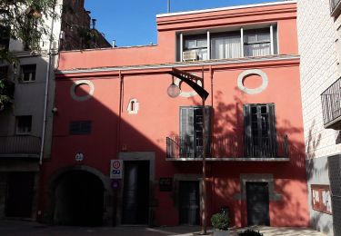
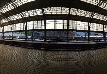
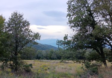
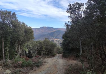
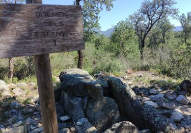
Randonnée Vélo de 36 km à découvrir à Occitanie, Pyrénées-Orientales, Le Perthus. Cette randonnée est proposée par EuroVelo 8.
Description
EuroVelo 8 - Le Perthus - Argeles-sur-mer.
Localisation
Pays :
France
Région :
Occitanie
Département/Province :
Pyrénées-Orientales
Commune :
Le Perthus
Localité :
Unknown
Départ:(Dec)
Départ:(UTM)
488292 ; 4700251 (31T) N.
Commentaires
Randonnées à proximité
![Randonnée Marche Les Cluses - LES CLUSES 66 - Photo](https://media.geolcdn.com/t/375/260/ext.jpg?maxdim=2&url=https%3A%2F%2Fstatic1.geolcdn.com%2Fsiteimages%2Fupload%2Ffiles%2F1553511878bg_sport_marche.png)
![Marche Marche](https://static1.geolcdn.com/sitytour/trail-icons/101.png)
LES CLUSES 66
Marche
Facile
(10)
Les Cluses,
Occitanie,
Pyrénées-Orientales,
France
![](/images/other/stat-length.png)
9,4 km | 12,8 km-effort
1h 50min
![](https://static1.geolcdn.com/siteimages/upload/files/16400158638029165_repeat_loop_refresh_sync_direction_icon.png)
Oui
![Randonnée Marche L'Albère - SAINT-JEAN-D'ALBERE 66 - PUIG de Sant Christau par le coll de Sant Joan - Photo](https://media.geolcdn.com/t/375/260/ext.jpg?maxdim=2&url=https%3A%2F%2Fservices.sitytrail.com%2FGeolivesWS%2FDownloadMedia.ashx%3FTrailID%3D452444%26Media%3D20150731170134.jpg)
![Marche Marche](https://static1.geolcdn.com/sitytour/trail-icons/101.png)
SAINT-JEAN-D'ALBERE 66 - PUIG de Sant Christau par le coll de Sant Joan
Marche
Difficile
(1)
L'Albère,
Occitanie,
Pyrénées-Orientales,
France
![](/images/other/stat-length.png)
10,1 km | 17 km-effort
2h 46min
![](https://static1.geolcdn.com/siteimages/upload/files/16400158638029165_repeat_loop_refresh_sync_direction_icon.png)
Oui
![Randonnée A pied la Jonquera - Marxa dels dòlmens i ruta dels estanys - Photo](https://media.geolcdn.com/t/375/260/fedcbff4-20db-4413-b792-cfa0f34dafa2.jpeg&format=jpg&maxdim=2)
![A pied A pied](https://static1.geolcdn.com/sitytour/trail-icons/100.png)
Marxa dels dòlmens i ruta dels estanys
A pied
Facile
la Jonquera,
Catalogne,
Gérone,
Espagne
![](/images/other/stat-length.png)
11,5 km | 14,5 km-effort
3h 17min
![](https://static1.geolcdn.com/siteimages/upload/files/16400158638029165_repeat_loop_refresh_sync_direction_icon.png)
Oui
![Randonnée A pied la Jonquera - PR-C 71 La Jonquera-Portbou - Photo](https://media.geolcdn.com/t/375/260/5e6d3380-2250-4b33-97db-8f0c01794288.jpeg&format=jpg&maxdim=2)
![A pied A pied](https://static1.geolcdn.com/sitytour/trail-icons/100.png)
PR-C 71 La Jonquera-Portbou
A pied
Très difficile
la Jonquera,
Catalogne,
Gérone,
Espagne
![](/images/other/stat-length.png)
39 km | 68 km-effort
15h 26min
![](https://static1.geolcdn.com/siteimages/upload/files/16400158638029165_repeat_loop_refresh_sync_direction_icon.png)
Non
![Randonnée Marche Les Cluses - LES CLUSES 66 - LE PERTHUS - - Photo](https://media.geolcdn.com/t/375/260/ext.jpg?maxdim=2&url=https%3A%2F%2Fstatic1.geolcdn.com%2Fsiteimages%2Fupload%2Ffiles%2F1553511878bg_sport_marche.png)
![Marche Marche](https://static1.geolcdn.com/sitytour/trail-icons/101.png)
LES CLUSES 66 - LE PERTHUS -
Marche
Moyen
(2)
Les Cluses,
Occitanie,
Pyrénées-Orientales,
France
![](/images/other/stat-length.png)
14,4 km | 20 km-effort
2h 57min
![](https://static1.geolcdn.com/siteimages/upload/files/16400158638029165_repeat_loop_refresh_sync_direction_icon.png)
Oui
![Randonnée Marche Le Perthus - penissar - Photo](https://media.geolcdn.com/t/375/260/db553a64-848c-49b3-ac51-caf4a414d04b.jpg&format=jpg&maxdim=2)
![Marche Marche](https://static1.geolcdn.com/sitytour/trail-icons/101.png)
penissar
Marche
Difficile
Le Perthus,
Occitanie,
Pyrénées-Orientales,
France
![](/images/other/stat-length.png)
10,8 km | 15,1 km-effort
5h 50min
![](https://static1.geolcdn.com/siteimages/upload/files/16400158638029165_repeat_loop_refresh_sync_direction_icon.png)
Oui
![Randonnée Marche L'Albère - autour de St Martin l'albere et puig forcadell - Photo](https://media.geolcdn.com/t/375/260/b324b8df-ddba-4fc1-aa12-cfac2513f360.jpg&format=jpg&maxdim=2)
![Marche Marche](https://static1.geolcdn.com/sitytour/trail-icons/101.png)
autour de St Martin l'albere et puig forcadell
Marche
Difficile
L'Albère,
Occitanie,
Pyrénées-Orientales,
France
![](/images/other/stat-length.png)
10,3 km | 16,5 km-effort
4h 59min
![](https://static1.geolcdn.com/siteimages/upload/files/16400158638029165_repeat_loop_refresh_sync_direction_icon.png)
Oui
![Randonnée Marche Maureillas-las-Illas - RIUNOGUES PORTELL PANISSAR - Photo](https://media.geolcdn.com/t/375/260/4c8ab771-8eed-403d-8d61-1b30ad4c486f.jpg&format=jpg&maxdim=2)
![Marche Marche](https://static1.geolcdn.com/sitytour/trail-icons/101.png)
RIUNOGUES PORTELL PANISSAR
Marche
Moyen
(1)
Maureillas-las-Illas,
Occitanie,
Pyrénées-Orientales,
France
![](/images/other/stat-length.png)
18 km | 26 km-effort
4h 35min
![](https://static1.geolcdn.com/siteimages/upload/files/16400158638029165_repeat_loop_refresh_sync_direction_icon.png)
Oui
![Randonnée Marche la Jonquera - CIRCUIT DES MÉGALITHES depuis EL FOGON - Photo](https://media.geolcdn.com/t/375/260/7a6e5bb6-23f5-4b50-857a-537a11402d8b.jpg&format=jpg&maxdim=2)
![Marche Marche](https://static1.geolcdn.com/sitytour/trail-icons/101.png)
CIRCUIT DES MÉGALITHES depuis EL FOGON
Marche
Facile
la Jonquera,
Catalogne,
Gérone,
Espagne
![](/images/other/stat-length.png)
11,1 km | 13,1 km-effort
2h 57min
![](https://static1.geolcdn.com/siteimages/upload/files/16400158638029165_repeat_loop_refresh_sync_direction_icon.png)
Oui